LIVING WATER
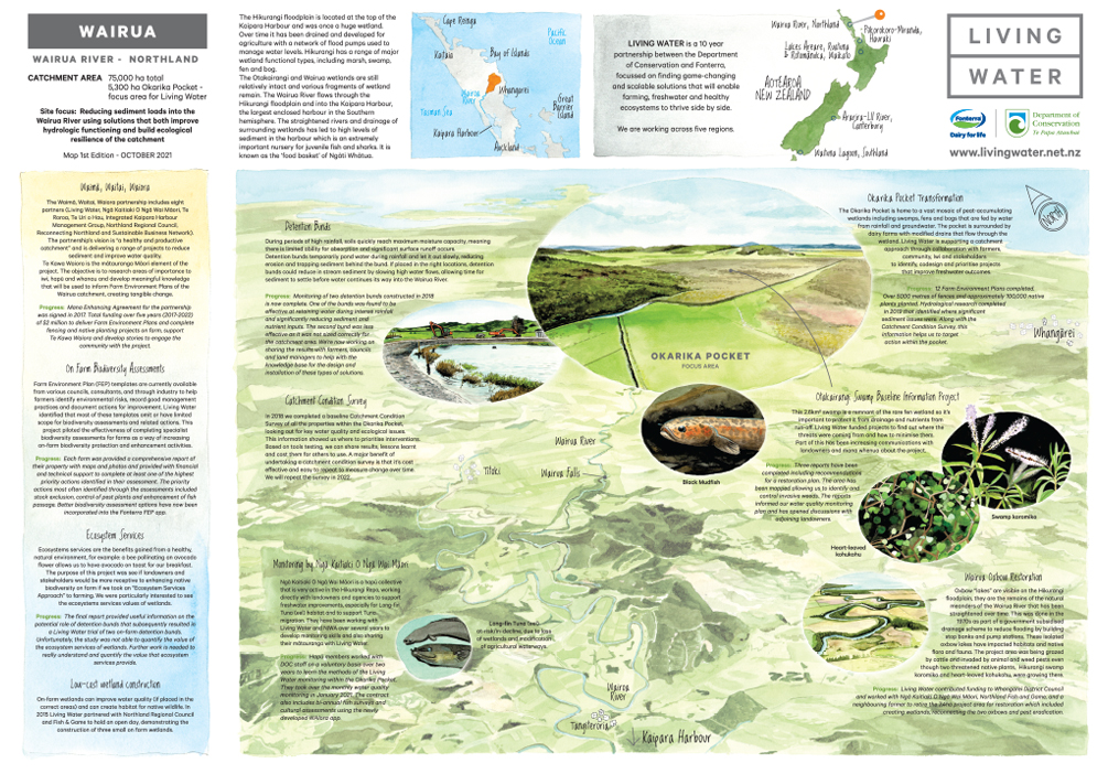
Living Water - a partnership between the Department of Conservation and Fonterra. A ten year project set up to trial tools, methods and approaches to enable farming, freshwater and healthy ecosystems to thrive side-by-side.
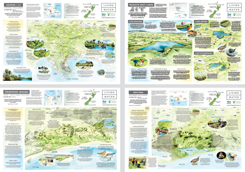
There are five regions in New Zealand (totalling over 110,000 hectares) where the Living Water team are working with farmers, scientists, councils, mana whenua and communities to design and test solutions to improve freshwater quality:
1. Wairua River, Northland
2. Pūkorokoro-Miranda, Hauraki
3. Lakes Areare, Ruatuna, Rotomānuka, Waikato
4. Ararira-LII River, Canterbury
5. Waituna Lagoon, Southland
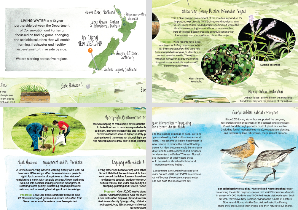
I was approached by Kate Veale, the Project Coordinator on the 7th year of the decade long project, with a brief to illustrate a map for each region showcasing their work. She had spotted my Greymouth Map on my website and loved the look. The timing was perfect for Covid lockdowns - I spent many hours painting with watercolours.
I used Google Earth to work out the best angles and painted the maps at the original size of A2 before having them professionally scanned. I painted the closeups separately and Photoshopped these scans in. The text (and photos for reference) were supplied. One of the trickiest things was to ensure a good balanced composition.


